Request
The geographic boundaries for the original sites allocated during the Scottish Territorial Waters Leasing Round.
Response
Enclosed is a For Your Information plan showing the boundaries of the 10 original sites that were part of the Scottish Territorial Waters Leasing Round.
Below are the centre coordinates for each site:
|
Site |
Centroid X |
Centroid Y |
|
1 |
003° 47.68952921' W |
54° 42.61316885' N |
|
2 |
004° 12 .37660928' W |
54° 44.03261732' N |
|
3 |
005° 50.80064720' W |
55° 26.05273112' N |
|
4 |
006° 45.32925438' W |
55° 46.19994371' N |
|
5 |
007° 07.31318158' W |
56° 24.54952046' N |
|
6 |
002° 53.26884962' W |
58° 15.20682655' N |
|
7 |
002° 11.63856429' W |
56° 29.68083092' N |
|
8 |
002° 27.60863795' W |
56° 25.43641893' N |
|
9 |
002° 14.90735950' W |
56° 16.06508488' N |
|
10 |
001° 55.36759773' W |
56° 02.33742114' N |
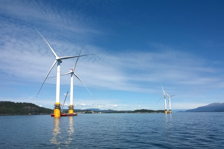
Currently, Beatrice is operational, Neart na Gaoithe (NNG) is in construction, and Inch Cape are still in an Option Agreement and have not stepped through to their lease.
For any other spatial information relating to our assets, please visit our spatial hub: https://crown-estate-scotland-spatial-hub-coregis.hub.arcgis.com/
And the Marine Data Exchange: https://www.marinedataexchange.co.uk/